


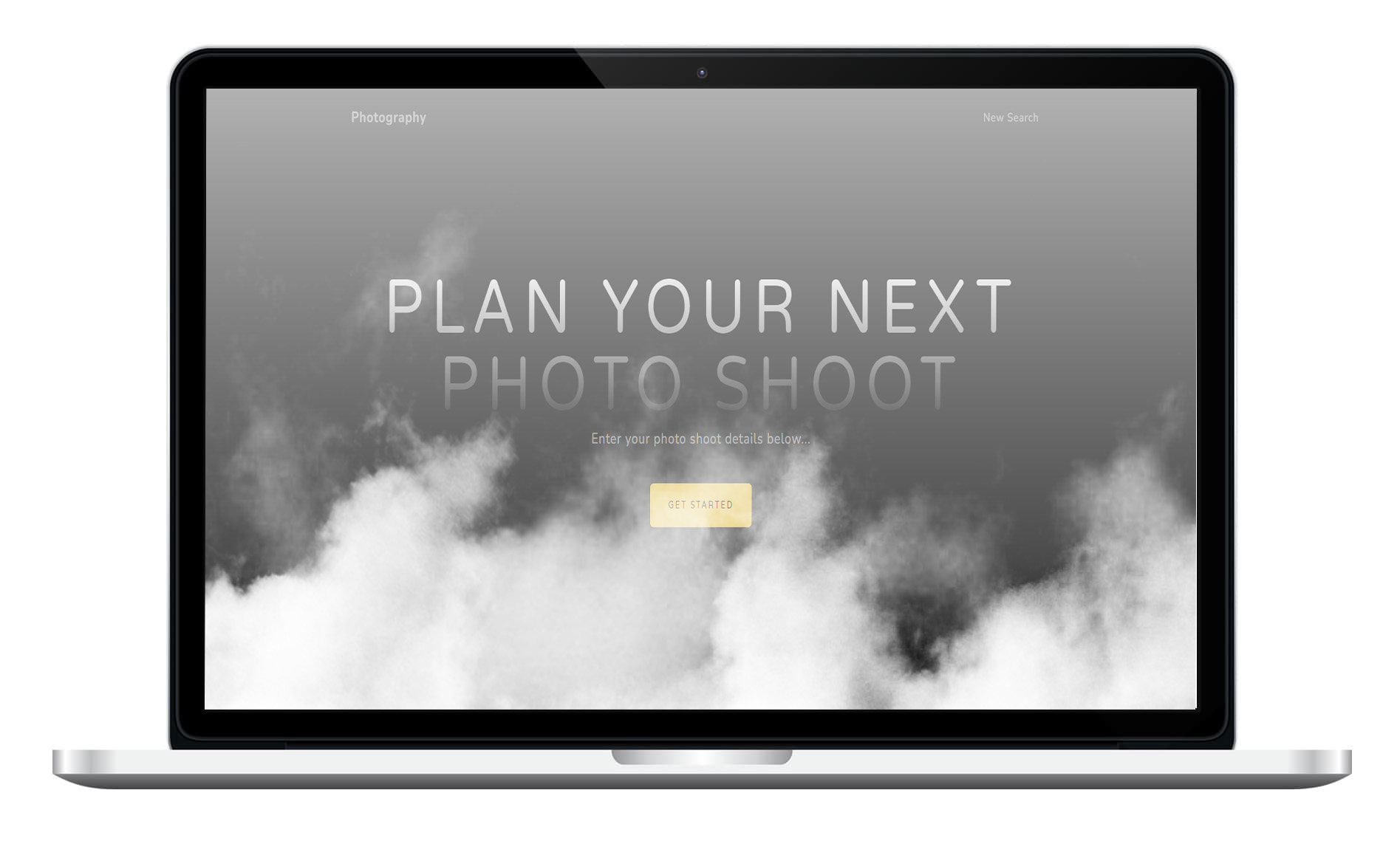
Project Overview
This app is designed to assist a real estate photographer plan their daily photo shoots regarding location, which equipment to pack, how many photos they need to take, and a general idea for any obvious flight restrictions for taking drone pictures.
The Google Map api generates a map view of the location by geolocating the address the user provides. The map is interactive - allowing the user to zoom in or out and switch to satellite view.
The number of photos is calculated by evaluating the given square footage of the property. Since airports are the most common flight restriction for drone pilots, the app asks for the user's best guess on proximity of the nearest airport. Then, it gives you a general idea on what your maximum legal altitude might be so you can come prepared.